| K | Kwality (Quality) |
| I | In |
| S | Sapphire and Saffron |
| H | Having |
| T | Tremendous amount of |
| W | Wealth |
| A | And |
| R | Resources |
K—–Kwality
I—– In
S—– Sapphire and Saffron
H—–Having
T—–Tremendous
W—–Wealth
A—–And
R—–Resources
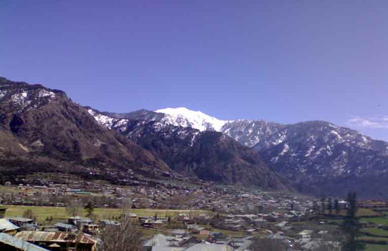
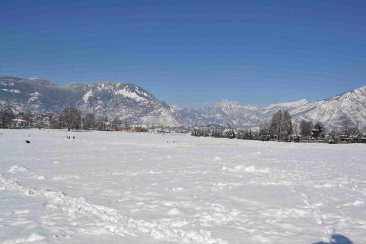
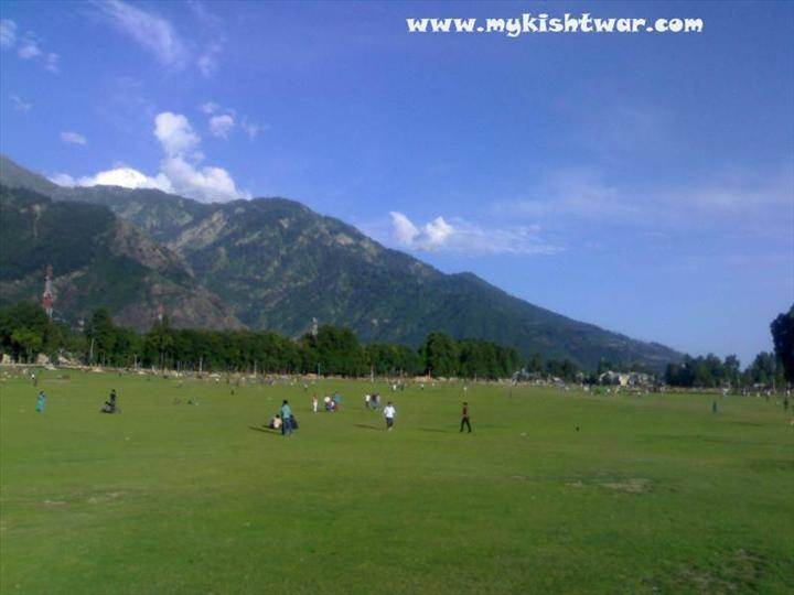
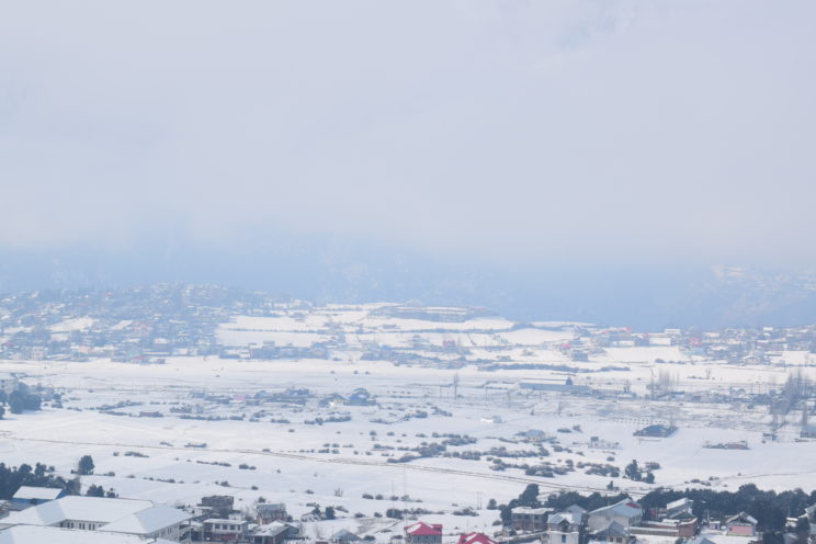
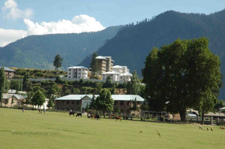
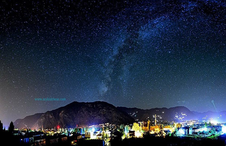
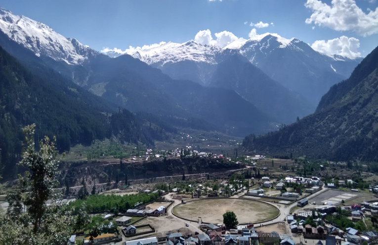
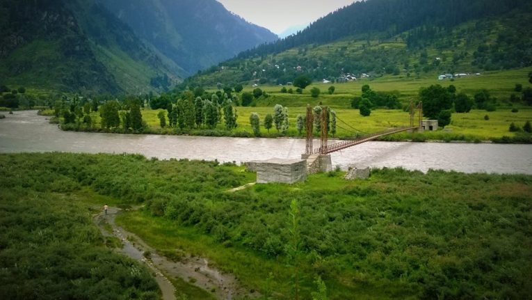
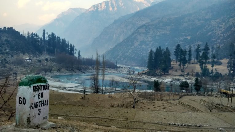
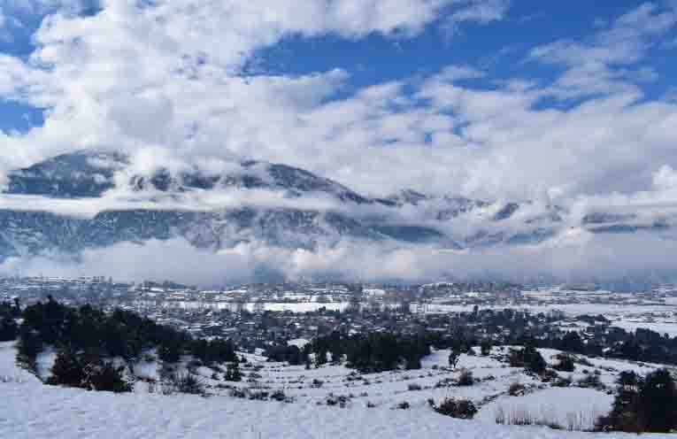
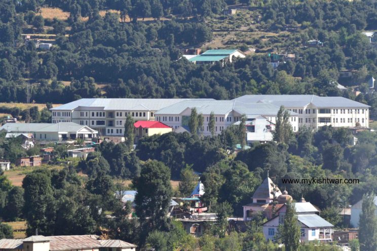
Kishtwar the land of saffron, sapphire, and shrines was an independent hilly state during the medieval period. Maharaja Gulab Singh, the Dogra ruler of Jammu annexed it in 1821 AD. District Kishtwar was carved out from the erstwhile District Doda during the year 2007-08 when the Chief Minister of state G.N.Azad had taken a historic decision in July 2006 for the creation of the new district. It has the unique distinction of being one of the biggest districts of the state in the area just next to Leh and Kargil districts. Its area is almost one half of the total area of eleven districts of the valley and one-third of the area of the Jammu region which too has eleven districts. The population of Kishtwar district is around 2.5lakh. History geography, topography, demography, area, and population define the status of a place or region. Kishtwar is almost mountainous like that of the Himachal or Ladakh region. District Kishtwar has its boundaries touching the valleys of Himachal in the southeast and Doda on the South-West. The entire district is full of mountains, forests, and hills. Hindus, Muslims, and Sikhs all reside here with amity and brotherhood. The district has four Tehsils namely Marwah, Paddar, Chhatroo, and Kishtwar with headquarters at Nauphachi, Atholi, Chhatroo, and Kishtwar. An almost the entire district receives snowfall during a good winter. Habitation is found even at an altitude of 9,500ft. Kishtwar is full of hidden charm, wonderful sites, and spots, health resorts, tourist locations famous historical and religious places, sacred shrines, and monuments.
The erstwhile District Doda comprised of an area of 11691 Sq. Kms. out of which earlier Sub-Division Kishtwar and now District Kishtwar has an area of 7737 Sq.Km. The Plateau of Kishtwar is 5300 feet or 1631 meters above sea level. It lies between 75 -25” East longitude & 34 -10” North latitude. Kishtwar town is 234 kilometers from Jammu & 280 kilometers from Srinagar.
An official Census 2011 detail of Kishtwar, a district of Jammu and Kashmir has been released by the Directorate of Census Operations in Jammu and Kashmir. Enumeration of key persons was also done by census officials in the Kishtwar District of Jammu and Kashmir.
In 2011, Kishtwar had a population of 230,696 of which males and females were 120,165 and 110,531 respectively. In 2001 census, Kishtwar had a population of 190,843 of which males were 100,235 and remaining 90,608 were females.
TOTAL POPULATION OF THE DISTRICT
| Census Year | Rural/Urban | Total Population | Male | Female |
| 1 | 2 | 3 | 4 | 5 |
| 2011 | Total | 230696 | 120165 | 110531 |
| Rural | 215831 | 111986 | 103845 | |
| Urban | 14865 | 8179 | 6686 |
Source: – ORGI- Census 2011
PERCENTAGE DECADAL VARIATION IN POPULATION
| Decade | Jammu & Kashmir State | District Kishtwar |
| 1 | 3 | 4 |
| 2001-2011 | +23.71 | + 20.88 |
Source: – ORGI-Census 2011
POPULATION BY RELIGION (2011 CENSUS)
| District | Muslim | Hindus | Sikh | Buddhists | Christian | Jain | Other Religions group | Religion not stated | Total |
| 1 | 2 | 3 | 4 | 5 | 6 | 7 | 8 | 9 | 10 |
| Kishtwar | 133225 | 93931 | 450 | 2094 | 277 | 3 | 514 | 202 | 230696 |
(Religion wise Population not available) Source: ORGI Census 2011
TEHSILWISE POPULATION AS PER CENSUS- 2011
| S.No. | Name of the Tehsil | Households | Population | Male | Female |
| 1 | Kishtwar | 14661 | 78005 | 41124 | 36881 |
| 2 | Chatroo | 3956 | 18260 | 9419 | 8841 |
| 3 | Mughal Maidan | 5773 | 25827 | 13396 | 12431 |
| 4 | Marwah | 3087 | 14269 | 7325 | 6944 |
| 5 | Dachhan | 2427 | 12765 | 6528 | 6237 |
| 6 | Warwan | 1592 | 8538 | 4511 | 4027 |
| 7 | Atholi | 3900 | 19734 | 10341 | 9393 |
| 8 | Machail | 359 | 1814 | 936 | 878 |
| 9 | Nagseni | 1874 | 10670 | 5512 | 5158 |
| 10 | Drabshalla | 4782 | 24915 | 12868 | 12047 |
| 11 | Bonjwah | 2798 | 15899 | 8205 | 7694 |
| Total | 45209 | 230696 | 120165 | 110531 | |
BLOCK WISE POPULATION AS PER CENSUS 2011
| S.No. | Name of the Block | Households | Population | Male | Female |
| 1 | Drabshalla | 4782 | 24915 | 12868 | 12047 |
| 2 | Inderwal | 3956 | 18260 | 9419 | 8841 |
| 3 | Dachhan | 2427 | 12765 | 6528 | 6237 |
| 4 | Kishtwar | 6570 | 34742 | 18347 | 16395 |
| 5 | Marwah | 3087 | 14269 | 7325 | 6944 |
| 6 | Nagseni | 1874 | 10670 | 5512 | 5158 |
| 7 | Paddar | 4259 | 21548 | 11277 | 10271 |
| 8 | Warwan | 1592 | 8538 | 4511 | 4027 |
| 9 | Mughal Maidan | 5773 | 25827 | 13396 | 12431 |
| 10 | Palmar | 1568 | 8241 | 4150 | 4091 |
| 11 | Bonjwah | 2798 | 15899 | 8205 | 7694 |
| 12 | Trigam | 1357 | 7355 | 3840 | 3515 |
| 13 | Thakrie | 2456 | 12802 | 6608 | 6194 |
| Total population (rural) | 42499 | 215831 | 111986 | 103845 | |
| Total population (urban) | 2710 | 14865 | 8179 | 6686 | |
| Total | 45209 | 230696 | 120165 | 110531 | |
SCHEDULED TRIBE POPULATION AS PER CENSUS 2011
| Census Year | Rural | Urban | Total | ||||||
| Male | Female | Total | Male | Female | Total | Male | Female | Total | |
| 1 | 2 | 3 | 4 | 5 | 6 | 7 | 8 | 9 | 10 |
| 2011 | 19840 | 18229 | 38069 | 49 | 31 | 80 | 19889 | 18260 | 38149 |
Source: ORGI Census 2011
WORKING FORCE IN DISTRICT KISHTWAR AS PER CENSUS -2011
| S.No | Category of Working Force | Rural | Urban | Total (Rural + Urban) | Rural (F+M) | Total (R+U) | Urban (F+M) | |||
| Female | Male | Female | Male | Female | Male | |||||
| 1 | 2 | 3 | 4 | 5 | 6 | 7 | 8 | 9 | 10 | 11 |
| 1 | Main Workers- Agricultural Laborers | 913 | 2653 | 1 | 16 | 914 | 2669 | 3566 | 3583 | 17 |
| 2 | Main Workers- Cultivators | 4512 | 14664 | 6 | 28 | 4518 | 14692 | 19176 | 19210 | 34 |
| 3 | Main Workers-Household Industry | 147 | 246 | 2 | 3 | 149 | 249 | 393 | 398 | 5 |
| 4 | Main Workers –Other Workers | 2375 | 14749 | 652 | 3751 | 3027 | 18500 | 17124 | 21527 | 4403 |
| 5 | Marginal Workers- Agricultural Laborers | 4503 | 8179 | 5 | 26 | 4508 | 8205 | 12682 | 12713 | 31 |
| 6 | Marginal Workers-Cultivators | 11460 | 8571 | 8 | 22 | 11468 | 8593 | 20031 | 20061 | 30 |
| 7 | Marginal Workers-Household Industry | 564 | 206 | 7 | 11 | 571 | 217 | 770 | 788 | 18 |
| 8 | Marginal Workers-Other Workers | 982 | 3372 | 58 | 282 | 1040 | 3654 | 4354 | 4694 | 340 |
| 9 | Non-Workers | 78389 | 59346 | 5947 | 4040 | 84336 | 63386 | 137735 | 147722 | 9987 |
Source: ORGI Census-2011
TEHSIL WISE NUMBER OF INHABITED/UN-INHABITED VILLAGES
| Name of Tehsil | Inhabited | Un-inhabited | Total |
| 1 | 2 | 3 | 4 |
| Kishtwar | 83 | 1 | 84 |
| Paddar | 32 | – | 32 |
| Chatroo | 13 | – | 13 |
| Marwah | 27 | – | 27 |
| Total | 155 | 1 | 156 |
| Number of Forest Block in District Kishtwar | 01 (One) | ||
Source:- DSEO Kishtwar
TEHSILWISE NUMBER OF HOUSEHOLDS IN DISTRICT KISHTWAR
(AS PER CENSUS-2011)
| S.No | Name of Tehsil | Number of House Holds | ||
| Rural | Urban | Total | ||
| 1 | 2 | 3 | 4 | 5 |
| 1 | Atholi (Padder) | 4259 | 0 | 4259 |
| 2 | Chatroo | 9729 | 0 | 9729 |
| 3 | Kishtwar | 21405 | 2710 | 24115 |
| 4 | Marwah | 7106 | 0 | 7106 |
| G.Total | 42499 | 2710 | 45209 | |
Source: – ORGI Census-2011
Mail Us your Comments / Suggestions on : contact@mykishtwar.com
Follow us on Facebook : Machail Yatra – a journey of Faith
Follow us on Instagram : Machail Yatra – journey of Faith
Follow us on Youtube : mykishtwar.com